Home » Stages of intervention » Study
BIM project study


Study of the land and the buildings
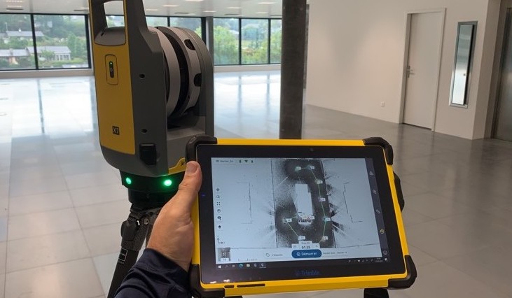
The first intervention that we carry out during the study is the scan of the land and/or the existing buildings. This scan allows us to capture all the elements present in the direct and indirect environment and which could potentially conflict with the project.
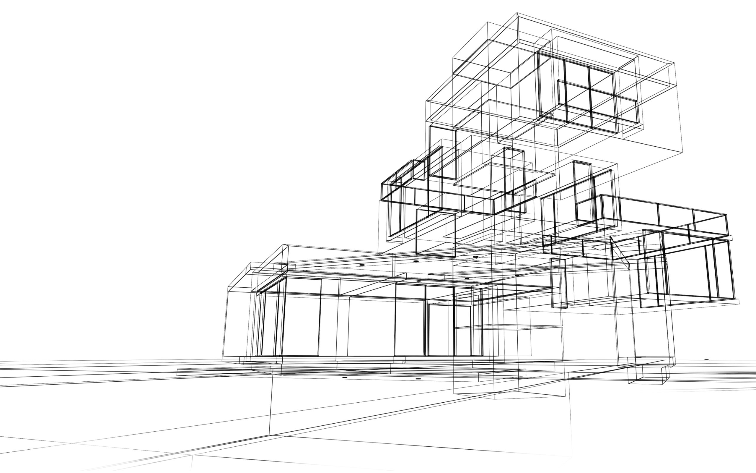
Thanks to the scan, we make a model of the land and the existing buildings, which will serve as a basis for the modelling of the architectural project. Thanks to this data, we can also accurately calculate the quantity of soil to be excavated.
Therefore, we actively participate in the feasibility studies of the project according to the elements scanned on the ground and its surroundings and, of course, according to the constraints and recommendations of the various engineers and specialists.
A solid foundation thanks to BIM
During the study, we can produce a site installation plan with the help of our terrain model or directly on the point cloud. This makes it possible to visualise the living quarters, storage areas, lifting areas, access areas and even potential danger areas.
As you have understood, the advantage of BIM is the ability to anticipate future sensitive points of the project before its completion. To achieve this, it is important to establish and transmit to the various agents the BIM charters as well as the BEP to be respected throughout the project.
As a reminder, the BEP defines the basis of what is expected of agents and in what format and what deadline. The purpose of the charters is to establish standardisation. Norms provide a legal and institutional framework.

Modelling spaces and objects
- Wall colours
- Finishing materials
- Part variants
- Etc